

They began producing maps of the United Kingdom in 1791 and continue to do so to this day, adapting their designs based on consumer feedback and new information. Their commitment to innovative thinking underpins their entire business strategy. Their specialists are masters in data gathering, administration, and dissemination; furthermore, they are continuously seeking out fresh and effective approaches to help clients maximize the information they obtain. In their map library, you may find a variety of antique maps, and the dealers they work with offer a vast array of historical relics. Every single place in the UK has data collected, updated, and made public by them. The main Ordnance Survey map (OS) presently contains 500 million geographical components and is updated periodically.
Sale On Maps
Map of Exmoor
The OS Explorer map of Exmoor, which includes Barnstaple, Lynton, Minehead, and Dulverton, is an essential piece of equipment to have when traveling across the region.
Explore the granite cliffs, verdant valleys, and pebble beaches that are located here. During your travels, make a pit stop in one of the gorgeous postcard villages or small towns to indulge in a bite of ice cream and a cup of tea.
Exmoor is a Dark Sky Reserve, which means that you can see constellations with your naked eye. In the evening, you may enjoy the skies by going on a trek around the lovely moors, having fun spotting horses, and enjoying the evening sky.
Their OS Explorer maps are ideal for day trips, extended excursions, and bike trips thanks to their versatility. Therefore, you will never be caught off guard in a storm because they are available in both normal and Weatherproof Active versions. You can access this map on all of your devices thanks to the free digital download that comes with it. This makes it a more convenient companion than it would otherwise be.

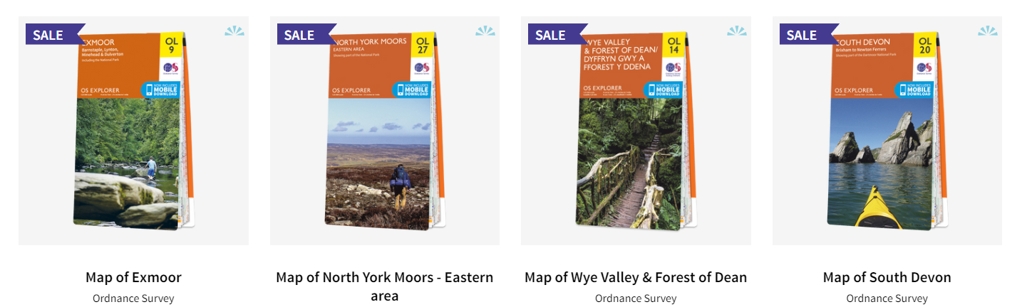
Map of North York Moors – Eastern area
When traveling to the Eastern region of the North York Moors, it is imperative that you bring along Explorer OL27.
These breathtaking uplands, which include one of the largest tracts of Heather moorland in Britain, are brimming with awe-inspiring landscapes to explore and activities to participate in. The Cleveland Hills, the Hamilton Hills, the Cleveland Way National Trail, the Tabular Hills Walk, Cleveland Street, the Esk Valley Walk, and the Northern end of Ebor Way are all places that you should visit.
Their OS Explorer maps are ideal for day trips, extended excursions, and bike trips thanks to their versatility. Therefore, you will never be caught off guard in a storm because they are available in both normal and Weatherproof Active versions. You can access this map on all of your devices thanks to the free digital download that comes with it. This makes it a more convenient companion than it would otherwise be.
Map of Wye Valley & Forest of Dean
The OS Explorer Map OL14 is an essential tool for anyone exploring the Wye Valley and Forest of Dean. Its detailed coverage of the area, including footpaths, bridleways, and cycle routes, ensures that visitors can easily navigate their way through the picturesque countryside. The map’s large physical size of 952 x 1270 mm provides a comprehensive view of the region, allowing users to plan their route and discover new locations. Although it is a folded map, it is also available digitally for those who prefer to explore with their smartphone. The publication date of 24/02/2020 ensures that this map provides up-to-date and accurate information, making it a reliable tool for any adventure-seeker.

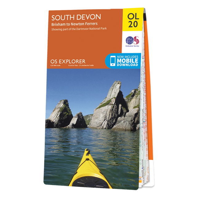
Map of South Devon
In preparation for your next journey to the region, the Explorer map of South Devon will prove to be your most trusted companion.
To put it simply, the Explorer collection is ideal for the activity of exploring. Salcombe is a lovely estuary town located in the South Devon Area of Outstanding Natural Beauty (AONB) area. It is well-known for its sailing and breathtaking views.
Additionally, there is the River Avon, also known as the River Aune. This river originates in the southern region of Dartmoor National Park, and the Avon Reservoir is located in close proximity to the point where it exits Dartmoor.
This map encompasses the Southern Region of Devon, which includes Brixham, Newton Ferrers, and the southern portion of Dartmoor.
Their OS Explorer maps are ideal for day trips, extended excursions, and bike trips thanks to their versatility. Therefore, you will never be caught off guard in a storm because they are available in both normal and Weatherproof Active versions.
Ordnance Survey is now offering a sale on maps
Ordnance Survey, the trusted name in maps, has exciting news for all avid adventurers out there – they are currently offering a sale on maps. Whether you’re planning a hiking trip in the countryside or exploring a new city, Ordnance Survey has you covered. They have been around for over two hundred years, mapping the ever-changing landscape of Great Britain with remarkable accuracy. This sale is the perfect opportunity to stock up on maps that will guide you through your next journey with ease and precision. With unbeatable prices, there is no better time to invest in a quality map from Ordnance Survey. Don’t miss out on this fantastic opportunity to enhance your outdoor pursuits and save money while doing so.

Leave a Comment