
Introduction:
For more than two centuries, Ordnance Survey (OS) has been a trusted name when it comes to mapping the Great British landscape. From its humble beginnings as a military initiative to its present-day status as the national mapping agency, OS has continuously evolved, utilizing advanced technologies and methodologies to provide accurate and detailed maps that have become an integral part of British life. Let’s delve into the fascinating history, accomplishments, and impact of Ordnance Survey.

Mapping the Nation’s Defenses:
The roots of Ordnance Survey can be traced back to 1791 when it was established as a response to the looming threat of French invasions during the Revolutionary Wars. Recognizing the need for accurate maps for military purposes, the British government set out to survey and map the southern coast of England. What began as a defense initiative soon evolved into a full-fledged mapping endeavor, laying the foundation for Ordnance Survey’s future.

The Rise of Topographic Mapping:
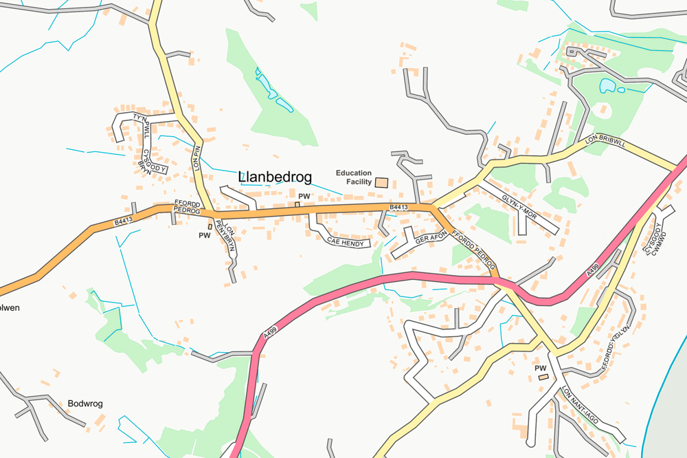
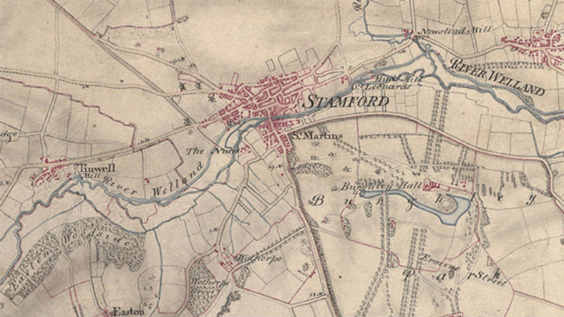
With time, Ordnance Survey expanded its mapping efforts, covering the entire expanse of Great Britain, including England, Scotland, and Wales. Meticulous surveys were conducted, capturing the intricate details of the landscape. The organization went beyond military requirements, meticulously documenting topography, roads, buildings, water bodies, landmarks, and other notable features. These efforts gave rise to the iconic map series that millions have relied upon for generations.

The OS Map Series:
One cannot discuss Ordnance Survey without acknowledging its renowned map series. Among the most popular are the “Ordnance Survey Explorer” maps, which offer detailed coverage of the countryside, revealing footpaths, trails, and recreational information essential for outdoor enthusiasts. Meanwhile, the “Ordnance Survey Landranger” series provides broader coverage with less intricate detail, making them ideal for planning journeys across larger areas.

Embracing the Digital Era:
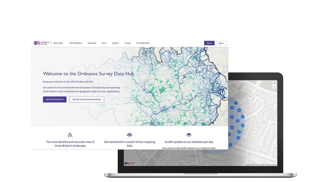
In step with the digital revolution, Ordnance Survey embraced new technologies, transitioning from traditional paper maps to digital mapping and Geographic Information Systems (GIS). The introduction of digital databases, such as the Ordnance Survey MasterMap, revolutionized the availability and accuracy of geospatial information. These databases offered an up-to-date and comprehensive representation of the British landscape, becoming a valuable resource for various industries.

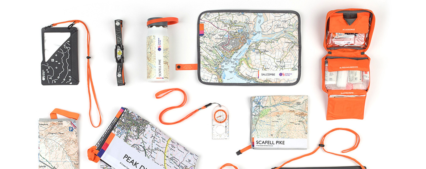
Product Range and Services:
Ordnance Survey caters to a diverse range of users, offering an extensive array of products and services. From printed maps that grace the shelves of outdoor enthusiasts to comprehensive digital mapping data and aerial imagery used by professionals, OS has a solution for everyone. Its geospatial software and location-based services have become vital tools for urban planning, land management, emergency services, environmental protection, and infrastructure development.
Government Agency and Independence:
Ordnance Survey operates as a non-ministerial government department, meaning it functions independently while reporting to the UK government. This unique structure allows it to strike a balance between public service and commercial viability. By working closely with the government, Ordnance Survey contributes to national initiatives, ensures the accuracy of land data, and aids in decision-making processes that impact the country’s future.
Open Data Policy and Licensing:
Recognizing the importance of sharing geospatial information, Ordnance Survey implemented an open data policy, granting free access to certain datasets for non-commercial use under the Open Government License. This move fosters collaboration, encourages innovation, and enables individuals and organizations to explore and utilize mapping information creatively. However, for commercial applications and premium datasets, licensing agreements are typically required to access Ordnance Survey’s comprehensive resources.
Innovation and Collaborations:
Ordnance Survey remains at the forefront of geospatial innovation. Through collaborations with government agencies, businesses, educational institutions, and other organizations, it seeks to push the boundaries of mapping technologies and applications. By embracing new methodologies, data collection techniques, and partnerships, Ordnance Survey plays an active role in shaping the future of mapping and geospatial intelligence.
Conclusion:
Ordnance Survey’s remarkable journey from a military mapping initiative to the national mapping agency is a testament to its commitment to accuracy, detail, and reliability. For over two centuries, Ordnance Survey has charted the British landscape, providing essential mapping information to individuals, businesses, and government bodies alike. Its maps have guided hikers, planners, and adventurers through the diverse terrain, becoming an indispensable part of the nation’s identity. As technology advances and new challenges emerge, Ordnance Survey’s dedication to mapping excellence ensures that it will continue to play a pivotal role in shaping the understanding and exploration of Great Britain for generations to come.

Leave a Comment